Cherry Creek Dam is 141 feet high and 14,300 feet long at its crest, and it exists because rain on the Front Range arrives fast and in volume. An industrial site covers most of its acreage with roofs and pavement, so every storm sends a surge of water toward the lowest corner. How that water is held, slowed and released decides whether your truck court floods, whether the city signs off and whether your neighbors have a complaint.
We build the detention and drainage systems that handle it: basins, outlet structures, storm sewer, inlets, culverts, swales and water-quality features. These are earthwork and concrete structures with tight tolerances. An outlet at the wrong elevation by two inches changes the basin's release rate, and a poorly compacted embankment can fail in the first big storm.
That is why we treat drainage as a first-order part of site planning, not a cleanup item at the end. On most east-side parcels the basin is also the lowest, widest and most visible earthwork on the property, which makes it the first thing a reviewer or a neighbor will look at.
Approvals that govern the drainage package
Drainage design is reviewed by the city or county, and often by a regional district as well. The reviewing office sets the design storm, allowed release rate, water-quality treatment and maintenance requirements. Aurora applies its own criteria, and unincorporated areas follow county rules. We confirm the standards before the engineer finalizes the plan and keep the submittal history in one file.
The inspection sequence matters too. Reviewers usually want to see the outlet structure and pipe bedding before they are covered, as-built survey of the basin volume, and a stabilized, vegetated embankment before the permit closes. We schedule each inspection against the construction sequence so nothing is buried before it has been seen.
Floods remembered, water protected
The region has a long memory of floods. A June 1965 flood damaged or destroyed businesses on Deer Trail's main street, and many of those buildings were never rebuilt. That is a reminder that dry country can still deliver a destructive storm, and that the cost of undersizing a drainage system falls on the owner.
The region also protects its water. Aurora Reservoir has a surface area of 800 acres, sits in the far southeastern part of Aurora and provides drinking water to the city, and only electric boats are permitted to protect water quality. Sites in watersheds that drain toward such facilities face closer scrutiny of what leaves the property, so we pay attention to sediment, oil and chemical controls in the design.
Building basins that work
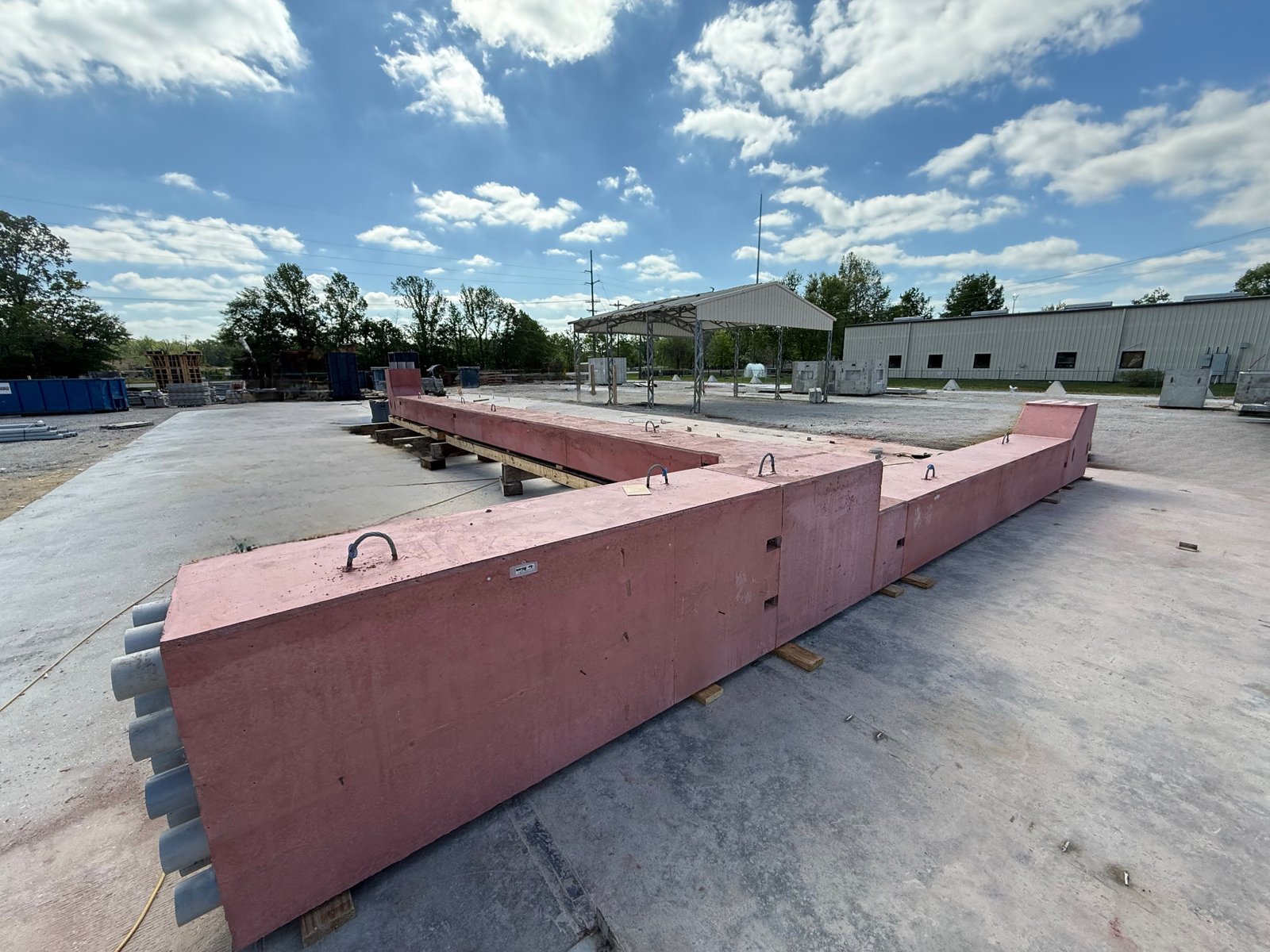
We build basins from the bottom up. The subgrade is proofed, any unsuitable soil is removed, and the embankment is placed in compacted lifts with density tests. Outlet structures are set to survey, with anti-seep collars where pipes pass through the embankment. Spillways are armored with riprap or concrete to handle overflow safely. Before we call a basin finished, we check the bottom for the design slope, the side slopes for stability and the forebay for easy sediment removal, because a basin that cannot be cleaned will not be cleaned.
We install storm sewer and inlets before paving, with pipe bedding, joint testing and structure inspection. Then we grade the court and apron to drain toward inlets at slopes that do not pond water under trailers. Concrete work around inlets gets particular attention, because a cracked collar or a sunken lid is a common maintenance problem. Our site utilities package coordinates these lines with water, sewer and electric so that crossings are designed and not improvised.
Where water goes wrong on industrial sites
Common failures include basins that fill with sediment during construction and lose volume, outlet structures that clog, courts that pond because of subgrade settlement, and inlets that sit above grade. We prevent them with sediment traps used during construction, cleaning of the basin before final survey, trash racks and routine inspection.
Frost and freeze-thaw also cause trouble. Water left in low spots freezes and heaves, so we grade for positive drainage everywhere, including dock aprons, where ice is a safety hazard. Cold-chain and food sites need particular care; for operators in food and beverage, runoff from wash-down areas may need separate handling. The trade crews also coordinate drainage with paving in stabilized parking lots.
Pieces that connect to drainage
Drainage ties into almost every other site scope. Grading sets the flow paths, paving sets the surfaces, and utilities cross the storm lines. For owners of self-storage and small-bay properties, where large paved areas and small buildings are the norm, the self-storage facility layout is largely a drainage problem.
Recreation and flood-control areas are also a useful comparison. Cherry Creek State Park covers 3,346 acres around an 880-acre reservoir behind that dam and recorded 2,685,860 visits in 2021, which shows how much of the surrounding land is managed with water in mind. Our Cherry Creek State Park area page covers what that means for nearby building sites.
Give the water a place to go
Share your site plan and drainage report, and we will review the basin size, outlet design and construction sequence with you. We can also price alternatives such as underground detention where land is tight. For nearby rural sites, see Deer Trail.
Questions Owners Ask
How big does a detention basin need to be?
It depends on the site area, the percentage of hard surface, the design storm and the allowed release rate set by the reviewing agency. A civil engineer sizes it. Our role is to build it to the designed volume and verify with an as-built survey.
Can we use underground detention instead of a pond?
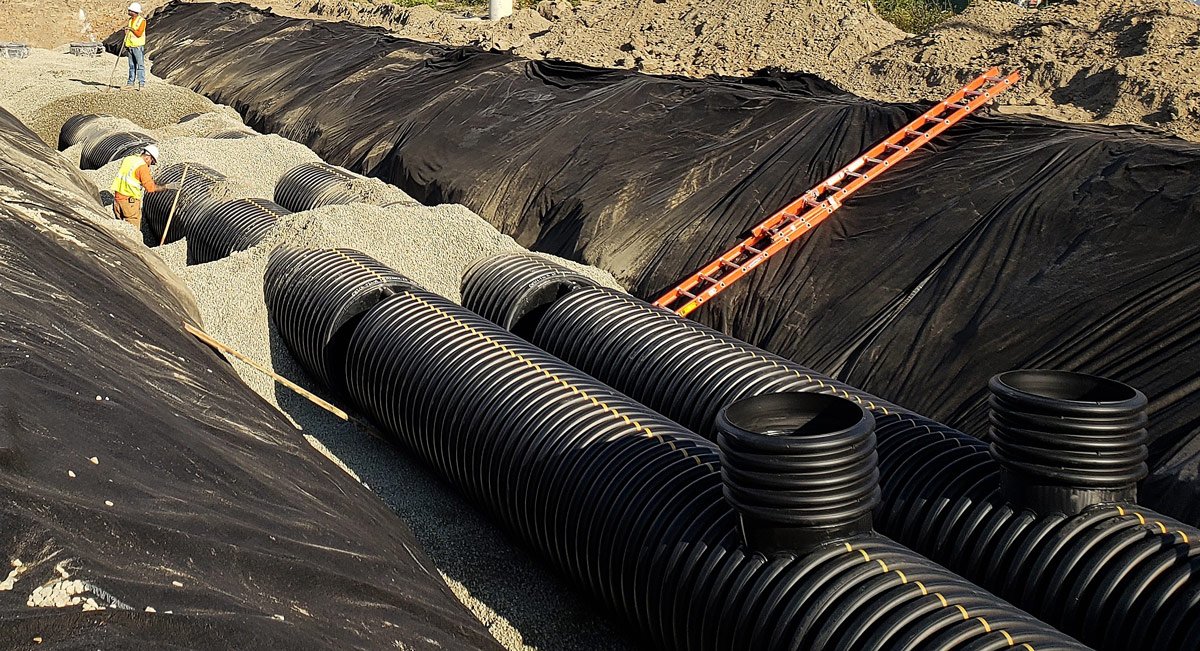
Yes, when land is expensive or tight. Underground chambers or large pipes store water below the court. They cost more per cubic foot but free surface area for dock positions or trailer parking. We price both options.
Who maintains the basin after construction?
Usually the owner, under a recorded maintenance agreement with the city or county. We deliver an operations sheet covering inspection frequency, outlet clearing and sediment removal, so your facility staff knows what to do.
Why does my court pond after rain?
Common causes are subgrade settlement, inlets set high or slopes too flat. We check grades with survey and, if needed, correct them by regrading, replacing a panel or adjusting an inlet. Designing and building to a clear slope from the start avoids the problem.
How does drainage affect schedule?
Basins and storm lines usually go in early, so they take a place on the critical path. We build them in parallel with building foundations when the site allows, and we plan inspections to avoid holding up paving.
Related
Related Services
Related Building Types
Related Service Areas
Ready to talk about your project?
Request a Project Review